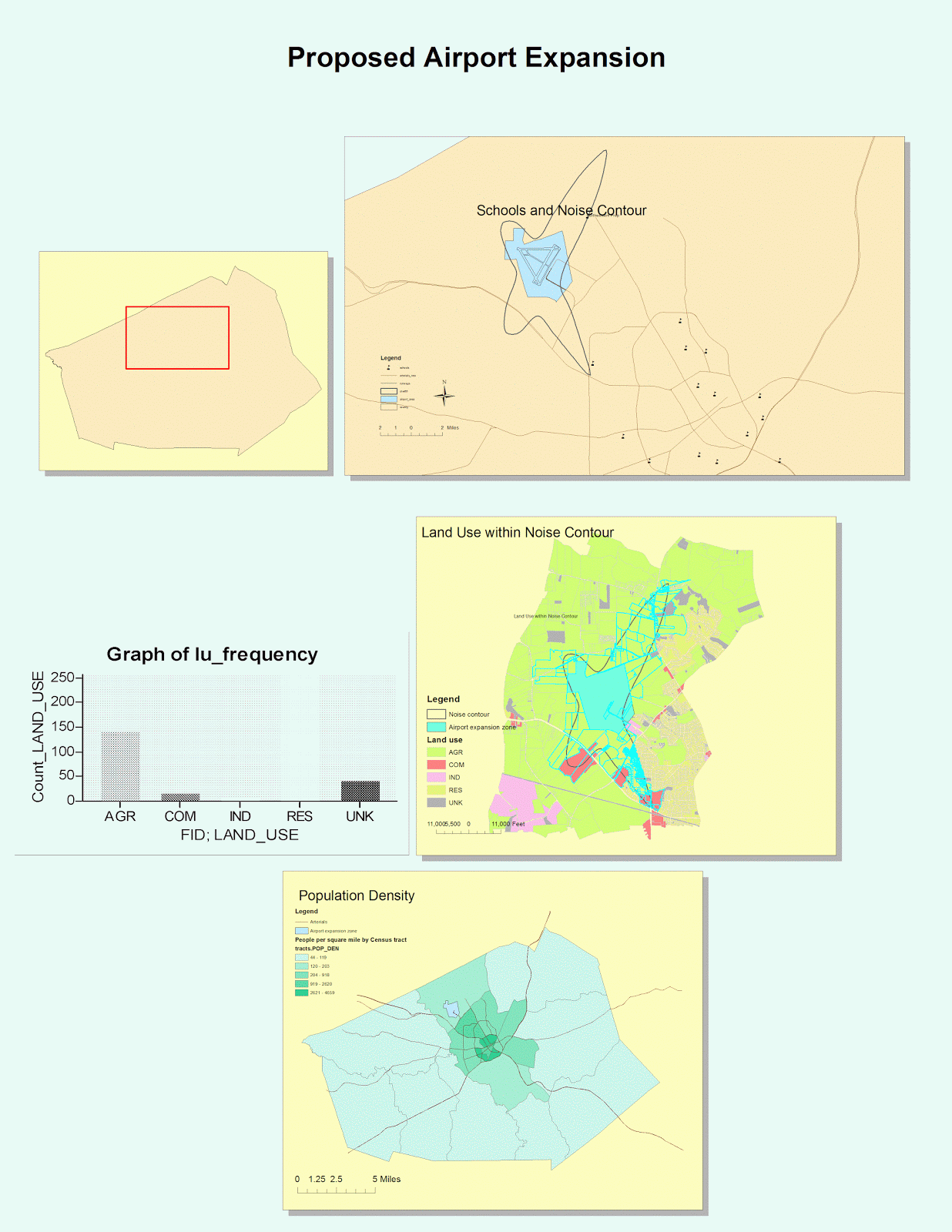
This is the first time I have ever been introduced to GIS, and it has been a fun but time consuming experience for me. GIS has great potential in terms of its organization, different views, and various tools for different operations. It is very easy to organize different tables and maps onto one sheet of paper like what I did in the picture above. The aligning function makes the page look very neat and organized. The layout view and date view we used in this lab are really helpful when we need to switch between part of a map and an entire sheet of organized maps. The different tools in the tool bar are also extremely helpful for all types of purposes. Although I did not get to explore all of them, it is still clear that they are very efficient. For instance, the zoom function in the tool bar provides us a chance to look at the map in great detail, thus we can find small items that cannot be seen earlier.
GIS is also excellent in its variety of colors, styles, and its easy way of transferring data onto the maps. I was impressed with the large range of colors used for different features, different areas, and different purposes. It is very easy to identify each feature and different layers on the map just by the color. The color scheme if GIS also looks very pleasant to the viewers to make their map reading experience even better. There are different styles of text, icons, and symbols for us to choose from, which is very helpful since everyone has different opinions on styles. One can use these choices to create maps that best suits him. I also noticed that it is very easy to transfer a set of data onto the maps while I was completing the lab. This is a great advantage since many people use GIS to analyze data in certain fields. Overall, GIS has countless advantages and potential.
Despite the great potential, I encountered a couple of problems while trying to follow the tutorial. The tutorial was out-of-date, which made it very hard for me to compare my screen to the tutorial example. Another problem I encountered was the fact that for some reason whenever I need to browse for an existing data, the program does not allow me to do so. Every time I need to browse for data, I have to go to the documents, search for its properties, and paste it onto the browse box. This becomes very tiring and it is easy for me to make mistakes by choosing the wrong data set. Despite these two little problems, I was overall satisfied and enjoyed my experience with GIS for the first time.
Last I am going to talk about the pitfalls of GIS. In my opinion, GIS is not very user-friendly comparing to other existing systems. Students outside of this class might not be able to access this system on their own. Even if they do, without the tutorial, it will be very painstaking to learn about the different tools and functions in the system. Therefore, it seems like GIS is only intended to be used within the field of geography, but not to the general public. Although this way its information is very accurate and professional, it might not be very popular towards the general public. Other than that, GIS is an amazing system for us to use to explore, analyze, and to present our maps to other viewers.
No comments:
Post a Comment