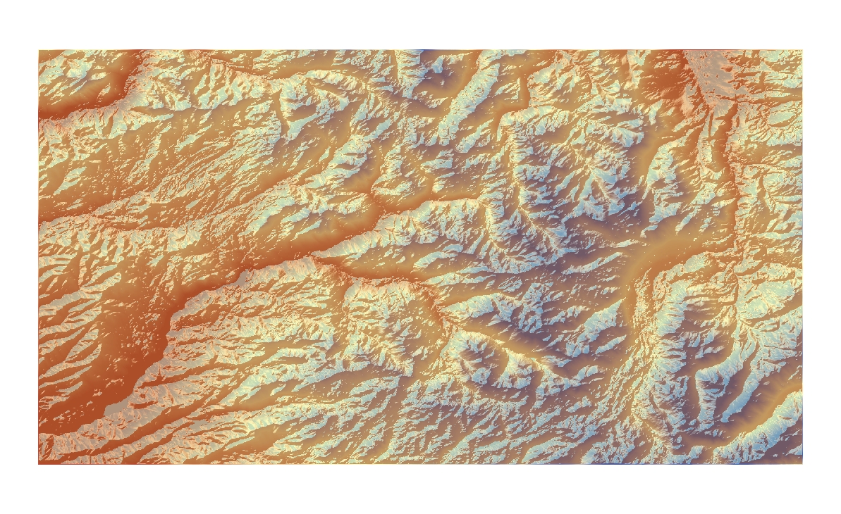
Shaded Relief (Hill shade)
Aspect
Slope
3-D model
Top 38.5658333327
Left -120.14000001
Right -119.38583334
Bottom 38.156111105
Spatial_Reference GCS_North_American_1983
Angular_Unit Degree (0.017453292519943295)
Datum D_North_American_1983
My map represents the area on the border of California and Nevada where there are a lot of mountain ranges. The extent information and geographic coordinated system are listed above. From the pictures above, one is able to gain different types of information such as the slope, elevation, etc. The 3-D model created a clear visualization of how the area actually looks like in real life.


No comments:
Post a Comment